


Latest Video
News
-

Meteo Curacao uploaded a video (7/5/2024)
Meteorological Department Curaçao
-
Meteo Curacao uploaded a video (7/1/2024)
Beryl Yuli 2024
-

-
Meteo Curacao uploaded a video (5/13/2024)
Meteorological Department Curaçao
-
Meteo Curacao uploaded a video (11/20/2023)
Boletin semanal 20 Nov te ku 26 Nov 2023
Weather Warning
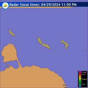
Radar
Satellite (InfraRed)

Forecast
Weather Forecast for Curaçao and surroundings valid until Friday evening 18:00
l.t., April 03, 2026.
Issued:
Thursday April 02, 2026, 17:00 l.t. (21:00 UTC).
Weather:
Light to partly cloudy with no significant precipitation expected for
the rest of today. During tomorrow morning, there is a chance for some local
showers.
Forecast high will be 31ºC and the low will be 25ºC.
Sunrise will occur at 06:31 and sunset at 18:47.
Winds:
Easterly and gentle to moderate; force 3 to 4 (12 to 30 km/h, 7 to 16
knots). Occasionally fresh in gusts; force 5 (31 to 39 km/h, 17 to 21 knots).
Synopsis:
During the next 24 hours, the rest of a humid and unstable air mass
may continue to produce significant clouds in our region. Because most of these
clouds will pass north of ABC island, it is expected that any shower will remain
limited on our island between this afternoon and tonight. Despite this, a chance
of some local shower is expected over Curaçao tomorrow during the early hours
of the morning. Furthermore, wind strength is expected to be moderate with
relatively calm sea conditions.
Sea conditions:
Slight to moderate with wave heights between 0.5 and 1.5 meters
(2 and 4 feet). Swells are expected to produce waves up to 2 meters (5 to 6
feet) on northern and eastern coasts.
Special features:
None.
Outlook until Saturday evening:
Partly cloudy with mainly dry weather condition
and the wind will be slightly stronger.
Forecaster:
Vrutaal.
The next weather forecast will be issued on Friday 05:00 l.t. (09:00 UTC).