

Latest Video
News
-

Meteo Curacao uploaded a video (7/5/2024)
Meteorological Department Curaçao
-
Meteo Curacao uploaded a video (7/1/2024)
Beryl Yuli 2024
-

-
Meteo Curacao uploaded a video (5/13/2024)
Meteorological Department Curaçao
-
Meteo Curacao uploaded a video (11/20/2023)
Boletin semanal 20 Nov te ku 26 Nov 2023
Weather Warning
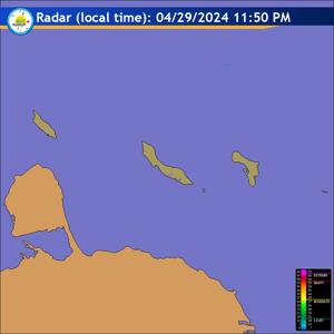
Radar
Satellite (InfraRed)

Forecast
Weather Forecast for Curaçao and surroundings valid until Thursday evening
18:00 l.t., October 16, 2025.
Issued:
Wednesday October 15, 2025, 17:50 l.t. (21:50 UTC).
Weather:
Partly to occasionally cloudy sky with a chance of isolated showers and
a risk of thunderstorms.
Forecast high will be 33ºC, and the low will be 27ºC.
Sunrise will occur at 06:26 and sunset at 18:17.
Winds:
Variable directions with a light to gentle breeze; force 2 to 3 (7 to 19
km/h, 4 to 10 knots). Occasionally moderate in gusts, particularly in and near
shower activity; force 4 (20 to 30 km/h, 11 to 16 knots).
Synopsis:
Atmospheric instability will persist across the region over the next
24 hours, enhanced by the presence of a low-level disturbance. This condition
will favor development of cloudiness with localized showers, occasionally
accompanied by thunderstorms. A prevailing light wind pattern will contribute to
slightly warmer feeling during peak daylight hours.
Sea conditions:
Tranquil with wave heights between near 1 meter (3 feet).
Significant tropical weather systems:
Tropical Storm Lorenzo weakens into an
area of low pressure and is currently situated over the Central Tropical
Atlantic and is projected to track northeastward. Remnants of Lorenzo poses no
threat to Curaçao.
Special features:
None.
Outlook until Friday evening:
Skies will remain variably cloudy with a chance of
some showers mainly in the night of Thursday into Friday.
Forecaster:
Coffie
The next weather forecast will be issued on Thursday 05:00 l.t. (09:00 UTC).